From Paso Robles at US-101, take CA-46 east 15.6 miles and turn right onto CA-41 West Centre street. Go 2.8 miles and turn right onto Toby Way. After 0.3 miles on Toby Way turn right onto San Juan Road. After 4.5 miles turn right onto Shell Creek Road. You’ll be on Shell Creek Road 10.7 miles, ending at CA-58.
To continue to Carrizo Plain National Monument, travel east on CA-58 24.2 miles, turn right on Soda Lake Road and travel 13.7 miles.
There’s a creek at the north end of the road which can flow over the road after a heavy rain, and this can close the road. When I last visited, there was a car in the creek, just downstream of where it had washed off of the road. Don’t underestimate how deep the water is, or how little force it might take to push your vehicle off the road!
For more information on the area, I cover Shell Creek Road on page 177 of my “Photographing California Vol. 2 South” landscape photography guidebook.
Based on our scouting in January, we returned to Death Valley in early March to…
So how did we do in 2025? Judge for yourself. Is there anything we could…
Our calendar for a new year is set in place as we finalize photography workshop…
First, let's establish what a "super bloom" of wildflowers is, or isn't. It seems to…
Many of us are used to pursuing landscape photography with focal lengths that range from…
This was one of those "stop the car" moments. Snowy Telescope Peak had nice side…
This website uses cookies.




View Comments
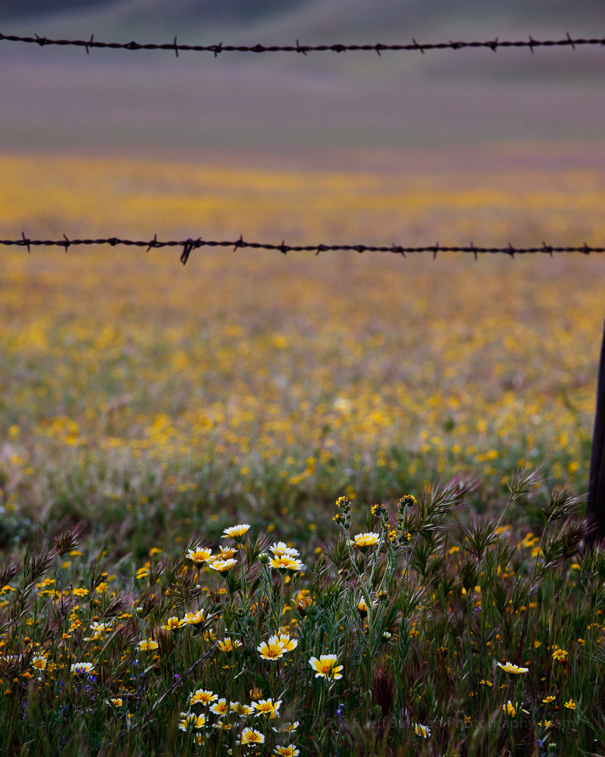
Wonderful colors and light!! Beautiful! Thanks for sharing with the #LandscapePhotography theme!! Please see the about tab of +Landscape Photography !! We have great new curators. It's my pleasure to share your amazing photo to the +Landscape Photography page! Check out all the great photos there including yours!!
Thanks +Jeff Sullivan
Sono tornata dire miei belle parole per tuo foto! Sei felice, qhe puoi tocare questa natura bella!